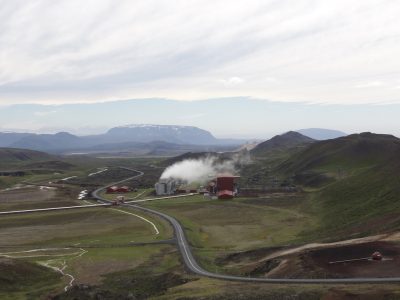
Interactive map of geothermal resources and infrastructure of Nevada
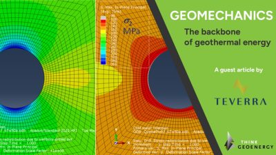
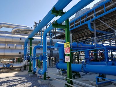
 McGuinnes Hills geothermal plant, Nevada (source: Ormat)


The map provides users the opportunity to view a wide range geothermal features in the state of Nevada, including geothermal sites of interest, geothermal well data, existing geothermal power plants, and transmission infrastructure.
The Nevada Bureau of Mines and Geology’s interactive geothermal map is a compilation of GIS data, relevant to geothermal energy, from around the state. The map provides users the opportunity to view a wide range geothermal features in the state of Nevada, including geothermal sites of interest, geothermal well data, existing geothermal power plants, and transmission infrastructure.
Click here to access the interactive geothermal map.